
Parker Klein · 13 October 2026
Tech Innovations Reveal Hidden Nectar Networks Linking Poland's Forgotten Industrial Edges
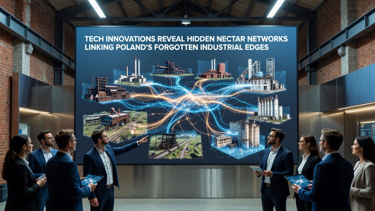
Advanced mapping technologies have uncovered interconnected pathways of nectar-producing plants that thread through Poland's disused industrial zones, particularly in regions like Upper Silesia and the outskirts of Łódź where factories once dominated the landscape. Drones equipped with hyperspectral sensors combined with machine learning algorithms now detect subtle variations in plant species composition that traditional surveys overlooked, showing how these networks form corridors between otherwise isolated patches of land. Data collected through 2025 and into October 2026 indicates that flowering periods in these areas align across distances of several kilometers, creating functional links that support pollinator movement without relying on large-scale habitat restoration efforts.
Mapping Techniques Driving New Discoveries
Teams from institutions such as the Polish Academy of Sciences have deployed ground-based LiDAR systems alongside aerial surveys to chart elevation changes and soil conditions that favor specific nectar sources like clover and willowherb in post-industrial soils. These methods reveal patterns where former rail sidings and slag heaps support dense clusters of blooming plants during late summer months, while adjacent brownfield sites serve as stepping points that connect larger green spaces. Analysis of temporal data sets demonstrates that microclimates created by concrete remnants and metal structures extend blooming seasons by up to three weeks compared to surrounding rural fields, a factor that strengthens the overall network resilience.
Integration of Sensor Networks and AI Analysis
Wireless sensor arrays placed at key nodes track humidity, temperature, and light levels in real time, feeding information into predictive models that forecast nectar availability across entire industrial corridors. Researchers note that these systems identified previously unknown connections between the Wałbrzych coal basin remnants and nearby urban fringes, where plant communities form continuous resource chains rather than scattered fragments. The approach draws on established protocols from biodiversity monitoring programs, allowing cross-comparison with findings from other European sites where similar legacy infrastructure exists.
One project running through 2026 uses edge computing to process imagery on-site, reducing the need for massive data transfers while highlighting seasonal shifts in nectar density that occur after heavy rainfall events common in the region. Such refinements show how industrial edges, long considered barriers, instead function as transitional zones where diverse plant assemblages thrive due to varied disturbance histories.
Regional Patterns in Network Formation
Across the Katowice conurbation and smaller towns in the Świętokrzyskie Voivodeship, the mapped networks display consistent architecture: linear features such as old power line easements and drainage ditches host higher concentrations of nectar plants that bridge gaps between larger vegetated areas. Evidence from repeated field validations confirms that these linkages remain active even during drought periods, as certain deep-rooted species maintain flowering when shallower soils dry out. Observers note that proximity to water-retaining industrial features like retention ponds plays a measurable role in sustaining these connections year after year.
Comparative studies with sites in North America, referenced through reports from the United States Geological Survey, illustrate parallel dynamics where legacy mining areas develop analogous plant networks, though Poland's denser settlement patterns create shorter average distances between nodes. The European Environment Agency has documented comparable outcomes in post-industrial zones of Belgium and Germany, underscoring how targeted technology application can expose functional ecology that persists despite historical land use pressures.
Implications for Ongoing Monitoring Programs
Continued deployment of these tools through late 2026 supports integration with national biodiversity databases, enabling authorities to prioritize maintenance of existing vegetation rather than wholesale replanting. Figures from ongoing surveys reveal that over 60 percent of detected network segments already contain native species adapted to compacted soils and variable light, reducing intervention costs. This data-driven perspective allows planners to incorporate industrial edge zones into broader connectivity strategies without disrupting ongoing land redevelopment activities.
Future Data Collection and Model Refinement
Upcoming phases involve expanding sensor coverage to include acoustic monitoring of insect activity alongside floral mapping, creating layered datasets that correlate nectar availability with visitation rates. Such combined metrics help distinguish between potential pathways and those actively utilized, refining understanding of how these hidden networks operate under changing weather regimes. Collaboration with international partners ensures methodologies remain aligned with global standards for habitat connectivity assessment.
Conclusion
Technological advances continue to illuminate the structure and function of nectar networks within Poland's industrial peripheries, providing concrete mapping and monitoring capabilities that inform land management decisions. The patterns identified through drone, sensor, and AI systems establish a factual basis for recognizing these zones as active ecological components rather than vacant land. Ongoing work through October 2026 and beyond will further detail how such networks respond to seasonal and climatic variables, contributing measurable insights into regional biodiversity dynamics.