Rosa Lorenz · 15 September 2026
Satellite Data Exposes Overlooked Bee Transit Links in Abandoned Industrial Zones
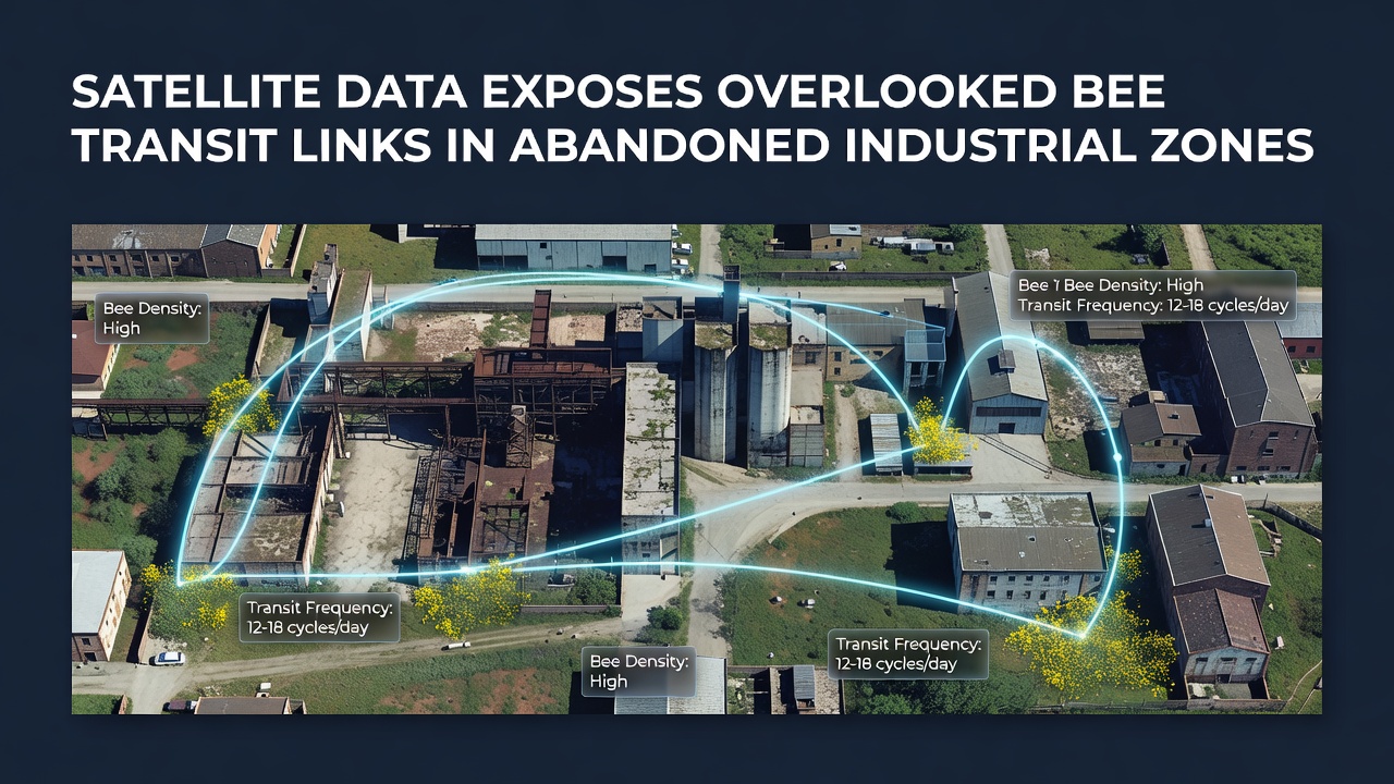
High-resolution satellite imagery has revealed networks of vegetation that connect fragmented habitats across former industrial sites, and these corridors support bee movement between isolated patches of flowering plants. Researchers analyzing multispectral data from orbiting platforms identified linear strips of low-growing vegetation and scattered wildflower patches that span rail yards, factory grounds, and storage lots left vacant for decades. The findings emerged from a multi-year review of imagery collected between 2022 and 2026, with a key data release in September 2026 that added finer detail on seasonal changes in plant cover.
Remote Sensing Methods Applied to Pollinator Pathways
Teams combined Sentinel-2 and Landsat imagery with higher-resolution commercial datasets to map plant phenology at scales under ten meters, and they cross-referenced the vegetation signatures against ground surveys of bee species presence. Analysts measured connectivity by calculating least-cost paths between known nesting sites and floral resources, treating compacted soil and concrete as high-resistance barriers while assigning low resistance to areas showing repeated spring and summer green-up. This approach highlighted routes that had escaped earlier field inventories because many of the sites sit behind security fencing or within restricted redevelopment zones.
One study released in late 2026 documented more than 180 kilometers of previously unmapped linkages across the Ruhr region in Germany and similar post-industrial landscapes near Detroit, where rail spurs and drainage ditches now carry pollen-bearing plants that link larger nature reserves on either side of the urban core. The same analysis flagged narrow corridors less than four meters wide that still function as transit routes when they maintain consistent bloom timing from April through September.
Characteristics of Functional Corridors in Brownfield Settings
Abandoned industrial parcels often retain pockets of nutrient-poor soil that favor stress-tolerant forbs such as clover, knapweed, and willowherb, and satellite time-series show these plants maintain green cover even during prolonged dry spells. Researchers noted that bee transit increases where these floral strips align with linear features like old fence lines, service roads, or drainage channels that provide shelter from wind. In contrast, sites that underwent heavy grading or chemical capping showed sharp drops in both vegetation indices and observed pollinator crossings.
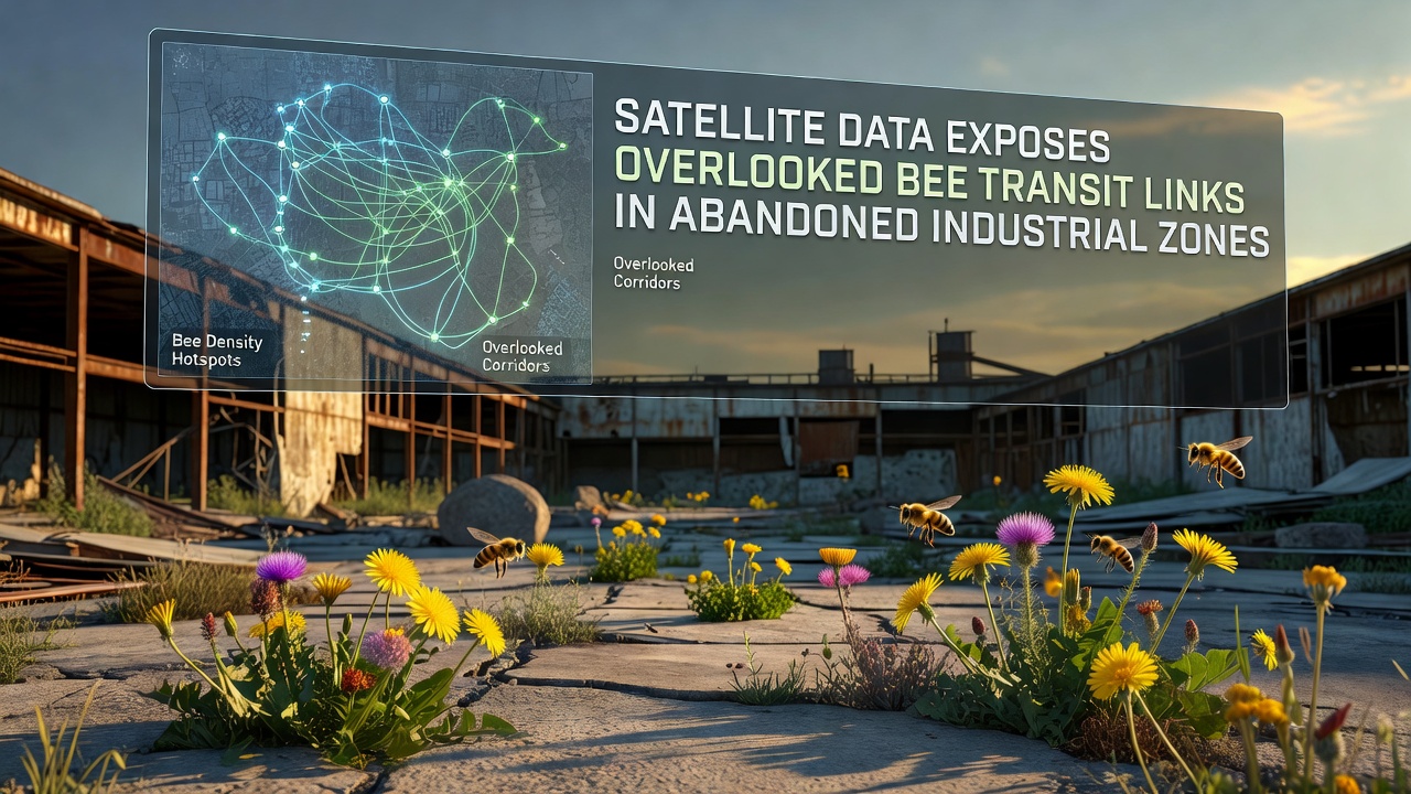
Data from the European Space Agency archives allowed repeated observation of the same parcels across multiple growing seasons, revealing that corridors remain viable even when surrounding redevelopment removes larger habitat blocks. Ground validation teams recorded higher counts of bumblebees and solitary bees along these narrow routes compared with adjacent mowed or paved surfaces, confirming that the spectral signatures correspond to actual movement pathways rather than isolated plant clusters.
Integration with Broader Biodiversity Monitoring Programs
National mapping agencies in several countries have begun incorporating brownfield connectivity layers into existing pollinator atlases, and the September 2026 update added raster datasets that land managers can overlay on local zoning maps. The U.S. Geological Survey has released comparable products for former mining districts in the Appalachian region, where satellite-derived indices identified similar transit links along abandoned haul roads and settling ponds. These products use standardized resistance surfaces so planners can compare potential corridor restoration options across different industrial histories and soil types.
Seasonal variation appears pronounced: corridors that support early-season species such as mining bees lose connectivity later in summer if dominant vegetation shifts to grasses that offer little nectar. Analysts therefore recommend multi-date imagery rather than single-season snapshots when prioritizing sites for intervention. Automated classification routines now flag parcels where vegetation persistence exceeds 70 percent across five consecutive years, producing candidate lists that field teams can visit without exhaustive manual searching.
Future Data Streams and Monitoring Expansion
Upcoming satellite constellations scheduled for launch in 2027 will add daily revisit capability at sub-five-meter resolution, and preliminary simulations suggest the denser time series will improve detection of short-lived bloom events that current sensors sometimes miss. Researchers expect these enhancements to refine corridor width estimates and to distinguish between routes used primarily for foraging versus those supporting nest-site relocation. Integration with acoustic or camera-trap networks on the ground should further validate the satellite predictions without requiring continuous human presence at each industrial site.
Conclusion
Satellite-derived maps now supply a consistent, repeatable method for locating bee transit links across abandoned industrial zones worldwide. The September 2026 data releases and subsequent validation campaigns have demonstrated that narrow vegetation corridors within these landscapes maintain functional connectivity for multiple bee species. Continued fusion of remote-sensing products with targeted field measurements will allow land-use authorities to account for these overlooked routes during redevelopment planning and habitat restoration initiatives.